


GPS Satellite Live Earth Map
3.1278.00 Reviews
App Specs
- Version
- 4.1.1
- Updated On
- License
- Free
- Downloads
- 10,000,000+
- Developer
- Sona Apps Studio
- Categories
- Maps & Navigation
- Platform
- Android, iOS
Screenshots
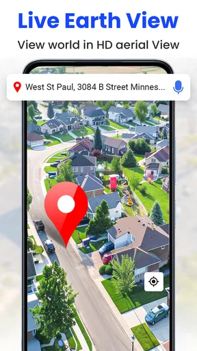
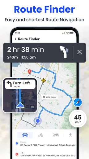
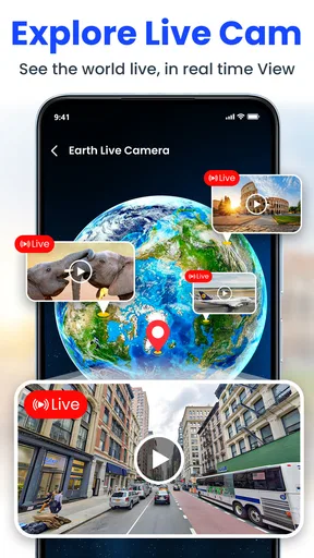
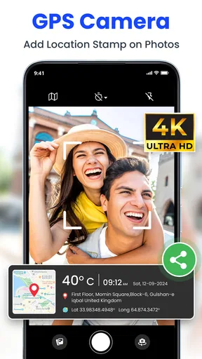

 Analysis by AppCompare
Ever find yourself in a new city, completely lost and wondering which way to turn? Yeah, I’ve been there too. That’s where GPS Satellite Live Earth Map swoops in to save the day. This nifty app is like having a travel buddy in your pocket, ready to guide you through bustling streets, tranquil parks, and hidden alleyways.
Exploring the World from Your Phone
What really caught my eye with GPS Satellite Live Earth Map is its ability to bring the world to your fingertips. You’re not just looking at a static map; you’re seeing live satellite imagery that updates in real-time. It’s like having a drone's view of your surroundings without actually being in the air. Talk about feeling like a secret agent!
Features That Make It Stand Out
First off, let’s talk about the user interface. It’s clean, intuitive, and doesn’t require a PhD to navigate. Whether you’re zooming in to check out a coffee shop or zooming out to plan a cross-country road trip, the app handles it all smoothly.
Then there’s the street view option. I mean, who doesn’t love a good street view? You can virtually stroll down streets anywhere in the world. It’s perfect for planning your route or just satisfying your wanderlust when you’re stuck at home.
The real kicker? It’s not just about finding places; it’s about discovering them. The app highlights points of interest, from historical landmarks to trendy eateries. You might stumble upon a hidden gem you didn’t even know existed.
Navigation Like a Pro
Of course, an app like this wouldn’t be complete without stellar navigation features. And boy, does it deliver! Whether you’re walking, driving, or biking, the app provides accurate turn-by-turn directions. The voice navigation is clear and precise, so you won’t find yourself second-guessing every turn.
And let’s not forget about the offline maps. Download your maps ahead of time, and you’re good to go even if you’re off the grid. Pretty handy for those remote hiking trips or when you’re traveling abroad without a data plan.
Worth Reading Before You Choose

EA SPORTS FC Mobile 26 Is a Bigger Football Game, but It Takes Time

Flipboard Shows What News Apps Must Do Beyond the Feed

Switching to Android Auto Means Rethinking Your Driving Routine

Google Calendar Makes a Crowded Week Easier to Manage

Ludo King Makes the Most of the Minutes Between Plans

Baby Panda World Brings Quick Play to Modern Phones, but Its Game Library Feels Busy
Wrapping It Up
In a nutshell, GPS Satellite Live Earth Map is a game-changer for anyone who loves exploring. Whether you’re a seasoned traveler or just someone who likes to know where they’re going, this app has got your back. It’s not just about getting from point A to point B; it’s about enjoying the journey along the way. So, go ahead, give it a whirl, and see the world like never before. Happy exploring!
Pros
- Accurate real-time GPS tracking.
- Detailed 3D satellite maps available.
- Smooth and intuitive user interface.
- Offline maps for remote areas.
- Frequent updates with new features.
Cons
- High battery consumption.
- Requires stable internet for updates.
- Limited features in free version.
- Ads can be intrusive at times.
- Large app size affects storage.
FAQs for GPS Satellite Live Earth Map
What features does the GPS Satellite Live Earth Map app offer?
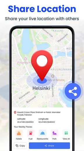
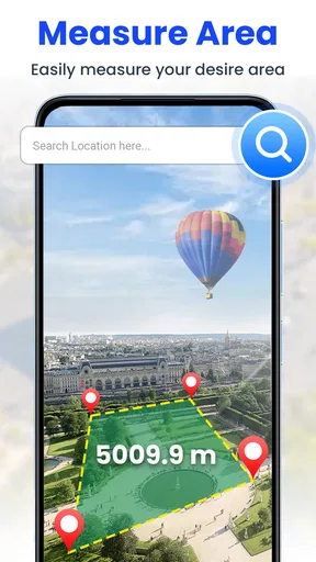
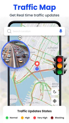
The GPS Satellite Live Earth Map app provides real-time satellite imagery, detailed live maps, and street views. It includes features like route planning, GPS navigation, and location sharing. Users can explore 3D maps and utilize the app for travel planning and local exploration. The app’s user-friendly interface enhances the navigation experience.
How accurate is the GPS Satellite Live Earth Map in real-time navigation?
The app uses high-precision GPS technology to ensure accurate real-time navigation. It continually updates satellite data to provide precise location tracking and routing. While generally reliable, accuracy may vary due to environmental factors like weather conditions or urban canyons, which can occasionally interfere with satellite signals.
Is the GPS Satellite Live Earth Map app free to use, or does it require a subscription?
The app offers a free version with basic features, while additional premium features are accessible through a subscription. The subscription may include advanced navigation options, ad removal, and enhanced map details. Users should check the app store for specific pricing details and free trial options.
Can the GPS Satellite Live Earth Map app be used offline?
Yes, the app offers offline capabilities by allowing users to download maps for specific areas. This feature is particularly useful for travelers in regions with limited internet connectivity. However, users should download the necessary maps beforehand to ensure accessibility when offline.
Does the GPS Satellite Live Earth Map app collect user data, and how is privacy handled?
The app collects location data to enhance navigation services. It follows strict privacy policies to protect user information. Users can manage privacy settings within the app, choosing which data to share. It's advised to review the privacy policy and permissions before installation to ensure comfort with data handling practices.


